By heading northeast out of the town of North Bend, we found the logging/access road that heads up behind Mt. Si to the lesser known (but actually higher) Mt. Teneriffe. The trail starts out level through trees, and then rises steeply through creek-crossed switchbacks. Along the way, a dilapidated old cabin can be found with camping stuff still in it. The road ends before the summit, and the rest of the way up is bushwhacking if you want to go to the summit. A small trickle of a waterfall and creek decides from 31 acres that is actually privately owned at the top, surrounded by 10,000 acres of state forest land.
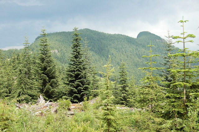
The knob on the right is Mt. Teneriffe, as seen from the trail and ridge approach, just past a little used back trail that connects over to Mt. Si
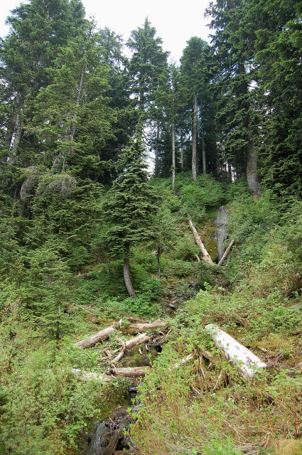
Barely visible here is a cascading trickle of a waterfall and creek, most interesting in that its source is practically near the top of the ridge so there is no discernible watershed above it (perhaps from a spring or such?)