After fueling up at fun downtown La Conner, we formed a caravan of kayak-topped cars and drove to the sandy put-in of Snee-oosh Beach. Snee-oosh looked directly at our destination for three days and two nights: Hope Island, an undeveloped island that is entirely a state park and has some primitive waterside campsites.
We planned our launch around the tidal currents that came through Deception Pass to the west, and had an easy paddle across to the island. The campsites were well protected in the forest along a small curving bay on the north side. The bay also served as a safe haven for sailboats anchored offshore, which included one owned by some friends of ours from Seattle who came up to join us for an evening.
Hope Island had a trail that went around the north, west, and south sides, but drifted off into understory vegetation on the east side and required beach walking from there. The campsites included picnic tables, a pit toilet, and great view, so all of the camping luxuries were there.
Skagit Island State Park, located north of Hope Island, had much more limited tent sites. Basically there was one spacious site by the water’s edge, and beyond that were several sites in the woods right on the one trail, with tent sites that were literally only the size of a tent’s footprint. We had originally thought about sleeping our second night on Skagit Island. But Hope Island had better accommodations and we were all set up there anyhow, so we stayed for a second night and used it as a base camp.
Aiming northwest, we rounded Hoypus Point of Whidbey Island and headed into Deception Pass. Because of the notoriously fast currents from Deception Pass, we planned our entry and exit times by entering the pass at slack tide and leaving on the flood tide. The public boat launch, pier, and picnic facilities at Cornet Bay provided a nice rest along the way before going further into the bay and then back out around Ben Ure Island and into the flood tide that pushed us back to Hope Island.
We also explored the shallow areas along the eastern shore of Skagit Bay, where mud flats became exposed at low tide. Dead Man’s Island made an excellent place for eating lunch and watching birds before heading back to Snee-oosh Beach on the La Conner side.
It was a fun, relaxing kayak trip!
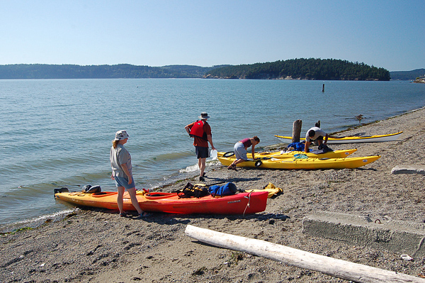
Snee-oosh Beach in La Conner; Hope Island on the distant right and Whidbey beyond
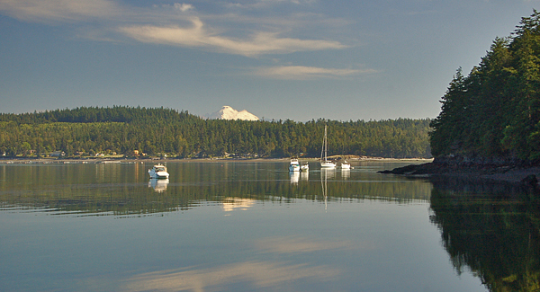
Mt Baker peeking out over Tosi Point on the La Conner side; view from Hope Island
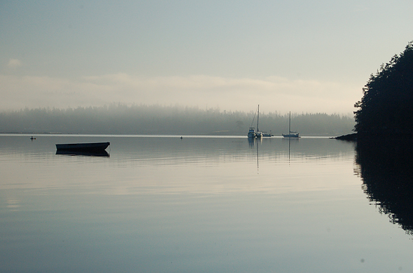
And the morning view from Hope Island, with fog on the mainland
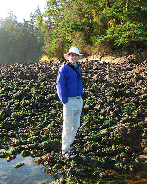
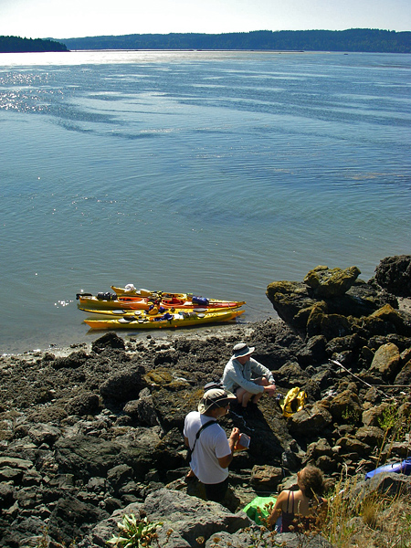
Searching for sea critters on the low tide rocks around Hope Island (photo by Josh)
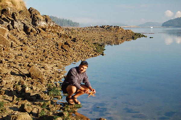
Speaking of critters… Josh catches a crab near the campsites
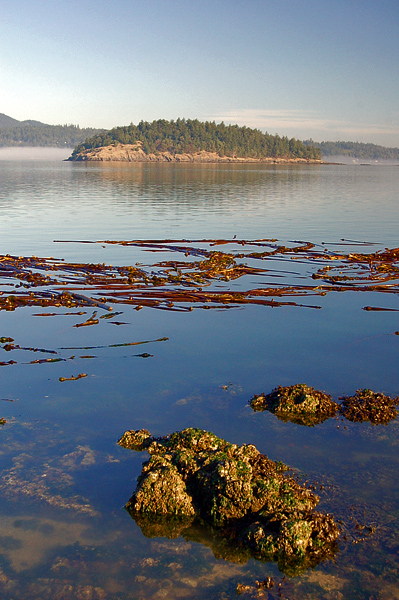
Skagit Island State Park, viewed from Hope Island across floating bull kelp
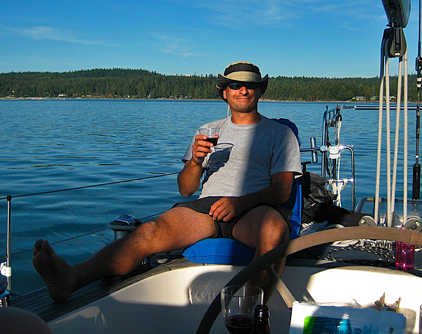
Josh has this relaxing on a sailboat thing all figured out (photo from Josh)
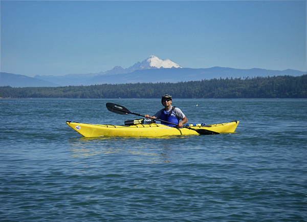
Going from Skagit Bay to Deception Pass, with Mt Baker in the distance
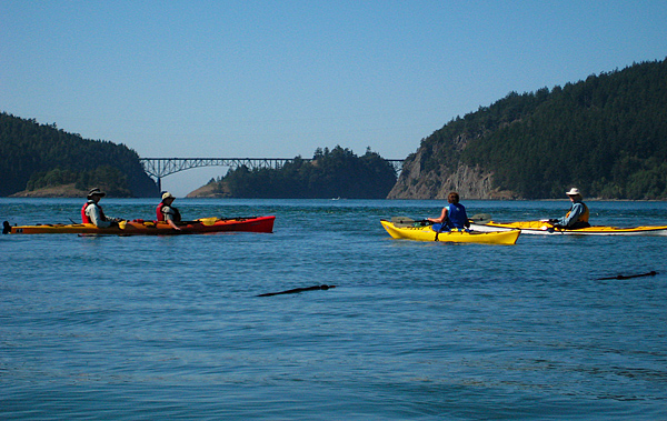
Heading into Deception Pass between Whidbey Island and Fidalgo Island (photo from Josh)
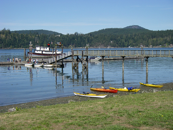
Public pier at Cornet Bay in Deception Pass State Park on Whidbey Island
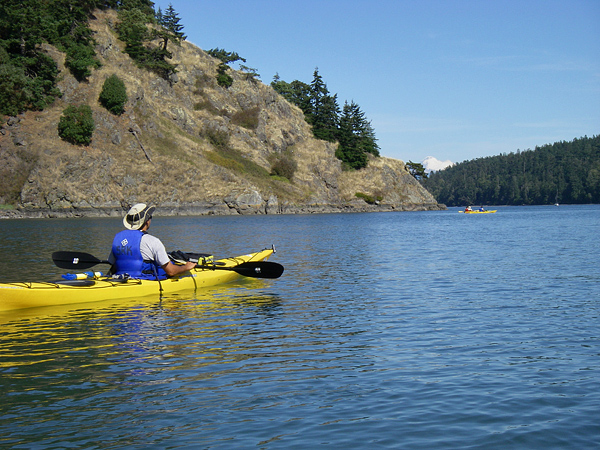
Kayaking around the perimeter of Cornet Bay by Whidbey Island
Dead Man’s Island near La Conner in Skagit Bay