The Valley of the Gods was a smaller version of Arizona’s nearby – and more famous – Monument Valley. Tall deeply colored buttresses, pinnacles, and buttes rose straight and high into the air above a sage brush covered plain, like a gallery of geologic statues.
Driving from the east over the top of Combs Ridge, the valley sprawled out before us in a glorious sunset that soaked up the colors of the rock. Early the next morning, we headed out to explore again. Because of the cold temperatures in the area, the entire valley was filled with a low lying mystical, primordial fog.
So we drove up a very sketchy, steep, icy road called the Moki Dugway. It switchbacked 1100 feet up to the top of Cedar Mesa, edging the western side of the valley. Since it was covered with snow and ice, and it barely had enough room for two cars side by side plus there were no guardrails, it was an “interesting” ride. But it provided panoramic views of the weather drama below that was flowing through the Valley of the Gods.
The valley was located on Bureau of Land Management land, and the valley floor could be accessed by a dirt loop road near the seasonal town of Mexican Hat.
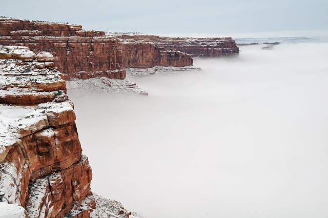
Looking out from the upper switchbacks of the Moki Dugway / route 261 above Comb Wash and the Valley of the Gods on the Cedar Mesa
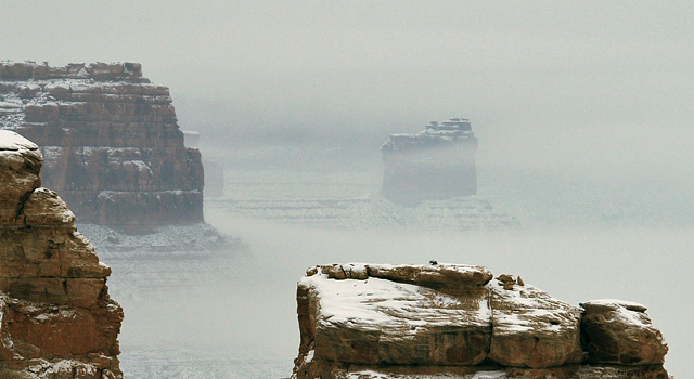
Fog shrouded mesas and buttes in the Valley of the Gods
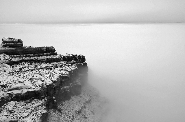
A high rock promontory jutting out into the Valley of the Gods below in fog
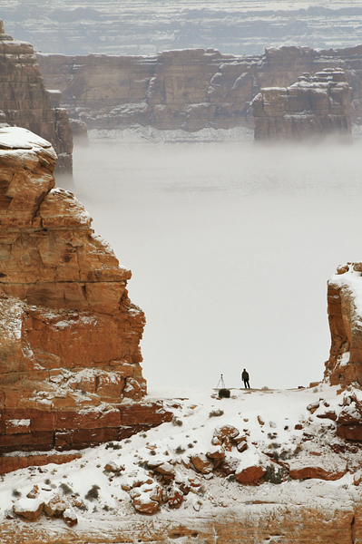
My brother by his tripod above the Valley of the Gods and Comb Wash near the Moki Dugway